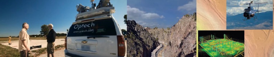
I created this video using Geoserve software. The LiDAR was colorized and Orthophotography was used for the surface. Anything with elevation such as man made structures and vegetation is colorized points and the surface is aerial photography orthorectified to the LiDAR data. The data set was created by my colleague Matt Bethel.
-

James Wilder Young
Jamie Young has worked in the LiDAR industry for 24 Years. I am currently Executive Vice President of Technology at Pointerra, 3D Data Solved
-
Join 179 other subscribers
Search Topics
Reference Sites
LiDAR Blogs
Profession Blogs
LIDAR Forums
Categories
-
Recent Posts
Archives
- April 2020
- December 2019
- November 2019
- May 2019
- March 2019
- February 2019
- November 2018
- August 2018
- June 2018
- September 2017
- July 2017
- May 2017
- April 2017
- February 2017
- January 2017
- September 2016
- July 2016
- June 2016
- May 2016
- April 2016
- March 2016
- February 2016
- December 2015
- November 2015
- October 2015
- September 2015
- July 2015
- May 2015
- April 2015
- February 2015
- December 2014
- November 2014
- October 2014
- September 2014
- August 2014
- July 2014
- June 2014
- April 2014
- March 2014
- February 2014
- January 2014
- December 2013
- November 2013
- October 2013
- September 2013
- August 2013
- July 2013
- June 2013
- May 2013
- January 2013
- December 2012
- November 2012
- October 2012
- August 2012
- July 2012
- May 2012
- April 2012
- March 2012
- February 2012
- January 2012
- December 2011
- November 2011
- October 2011
- September 2011
- August 2011
- July 2011
- June 2011
- May 2011
- April 2011
- March 2011
- February 2011
- January 2011
- December 2010
- November 2010

Cool fly over. What canyon was this that flooded?
Big Thompson Canyon, It is not really a fly over. It is a navigation through the data using the Geoverse software. With the software you can navigate through the data anyway you want. it is more interactive than a fly through. I guess the video is a fly-over.